Open source software for transport planning

Robin Lovelace, University of Leeds, ITS/LIDA. Source code: github.com/npct.

UCL Centre for Advanced Spatial Analysis (CASA), 2016-11-02, London, UK.

Structure of the talk

  • The origins of transport modelling
  • Proprietary software vs sustainability
  • An open source approach
  • Live demo of the Propensity to Cycle Tool
  • Discussion

Tools for the trade

The origins of transport modelling

Inspiration for this section

Forecasting urban travel

  • Book by Boyce and Williams (2015)

Origins of Transport planning

Credit: Crispin Cooper. See cardiff.ac.uk/sdna/

The origins of modelling

  • "urban travel forecasting was definitely 'where the action was' for young transportation engineers and planners entering the field in the 1960s" (Boyce and Williams 2015, 67).
  • heavily restricted by computing power
  • no consideration of walking or cycling

Proprietary software vs sustainability

Transport planning tools: expensive…

And potentially dangerous!

Tools for transport planning I

Source: Pixton.com

  • Are black boxes

Tools for transport planning II

Source: openclipart

  • Tools are blunt

Tools for transport planning III

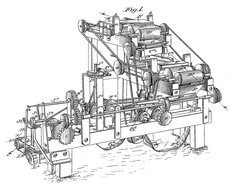
Source: By James Albert Bonsack (1859 – 1924), Wikimedia

  • Are sometimes too complex!
  • Implications for others

An open source approach

Open source software for transport planning

Softare product Classification License
QGIS GIS GNU GPL
Grass GIS GIS GNU GPL
PostGIS/pgRouting Database GNU GPL
TRANUS Transport modelling Creative commons
AequilibraE Transport modelling Custom
UrbanSim Transport modelling Custom
MATSim Transport modelling GNU GPL
SUMO Transport modelling Apache 2.0
R Programming language GNU GPL
Python Programming language Python 2.0
stplanr R package MIT
activitysim Python package BSD

A broad classification, and use cases

  • General purpose products that have found many transport applications
  • Python
  • R
  • QGIS
  • Dedicated transport programs
  • MATSim
  • SUMO
  • Add-on packages that providing transport planning capabilities to existing (mature) programs
  • stplanr
  • AequilibraE
  • activitysim

The wider movement

  • Open data
  • Publicly accessible
  • The wider community

Open source in other sectors

  • We can learn from 'early adopter' sectors

Community buy-in

Testing many tools

Source: Camcycle.org

Participatory planning

Envisioning shifting travel patterns

Source: Leeds Cycling Campaign

Incorporation of new digital technologies

Live demo

Origin-destination data

install.packages("stplanr")
library(stplanr)
## Loading required package: sp
data("flow")
nrow(flow)
## [1] 49
flow[1:3, 1:3]
##        Area.of.residence Area.of.workplace All
## 920573         E02002361         E02002361 109
## 920575         E02002361         E02002363  38
## 920578         E02002361         E02002367  10

Spatial data

data("cents")
cents@data[1:2,]
##       geo_code  MSOA11NM percent_fem  avslope
## 1708 E02002384 Leeds 055    0.458721 2.856563
## 1712 E02002382 Leeds 053    0.438144 2.284782
desire_lines = od2line(flow = flow, zones = cents)
plot(desire_lines)
points(cents)

Transport planning is somthing you do

Source: the Propensity to Cycle Tool (PCT) Lovelace et al. (2016)

Discussion

The case for open source software in transport planning

Practical reasons

  • It's cheaper
  • Faster evolving
  • More robust: more eyes on it

Philosophical reasons

  • Transport Planning is intertwined with democracy and power relations
  • People will try to manipulate it for own benefits - transparency/reproducibility = key
  • Control of public sector organisations over their data and analysis capabilities
  • Hypothesis: Use open source -> greater good

Common objections to open source software

  • It's not user friendly
  • It's not where jobs are (now)
  • It doesn't have the support of trusted suppliers
  • Anyone can come and 'hack' your code!
  • Developer's don't get paid
  • Any more?

Open source software has no warranty…

Twitter image of other software

What to keep, what to replace?

Keep Replace How
Terminology Inaccessible Online tools
Equations Proprietary ownership Open source licences
Use of scenarios Ageing software New software
Narrow scenarios of future Flexible models
Black boxes Simple and open method

Overlaps between energy and software transition

  • Both require 'systemic' change (Beddoe et al. 2009)
  • They seem like technical problems on the outset but are highly political
  • It takes time, commitment and persuasion
  • The benefits take time to realise

Could there be a mutually reinforcing feedback loop:

Shift in (digital) infrastructure -> change in behaviour and priorities?

Points of contention

Most people agree that:

  • Transport models are not working optimally
  • Open source software is 'good'
  • It would be good to save money and switch

Areas of disagreement:

  • How to get there
  • Whether it's a slow transition or 'cold turkey'
  • Who should write the code
  • Any volunteers (or funders)?

References

Lovelace, Robin. 2016. "Mapping out the future of cycling." Get Britain Cycling, 2016. P. 22 - 24. Available from getbritaincycling.net

Beddoe, Rachael, Robert Costanza, Joshua Farley, Eric Garza, Jennifer Kent, Ida Kubiszewski, Luz Martinez, et al. 2009. “Overcoming Systemic Roadblocks to Sustainability: The Evolutionary Redesign of Worldviews, Institutions, and Technologies.” Proceedings of the National Academy of Sciences 106 (8): 2483–9. doi:10.1073/pnas.0812570106.

Boyce, David E., and Huw C. W. L. Williams. 2015. Forecasting Urban Travel: Past, Present and Future. Edward Elgar Publishing.

Lovelace, Robin, Anna Goodman, Rachel Aldred, Nikolai Berkoff, Ali Abbas, and James Woodcock. 2016. “The Propensity to Cycle Tool: An Open Source Online System for Sustainable Transport Planning.” ArXiv:1509.04425 [Cs]. http://arxiv.org/abs/1509.04425.